
Left rectangle ads redesigned

Robert Ripps book
History of Tribeca Buildings
The Birth of Battery Park City (Part 2)
Back in June, I ran a bunch of photos from the Battery Park City Authority, which has been commemorating the fiftieth birthday of Battery Park City (Governor Nelson Rockefeller signed the Battery Park City Authority Act in June of 1968) by posting historical shots on Instagram. The BPCA had a lot more great photos, so here we go again. This post is just the northern part of the neighborhood, from Chambers Street down to North Cove Marina.
·····················
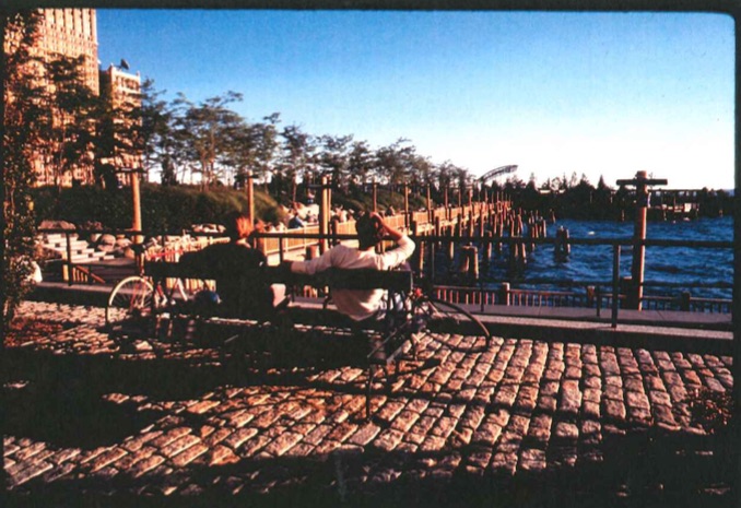
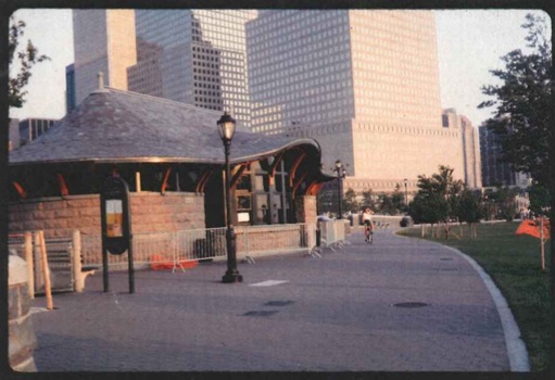
The Hudson River Park esplanade, with the Stuyvesant High School lot to the left. UPDATE: This “is the south cove near the jewish heritage museum not up by Stuyvesant,” says Wrong. (Let’s try harder with the nom de comment, OK?)
 ·····················
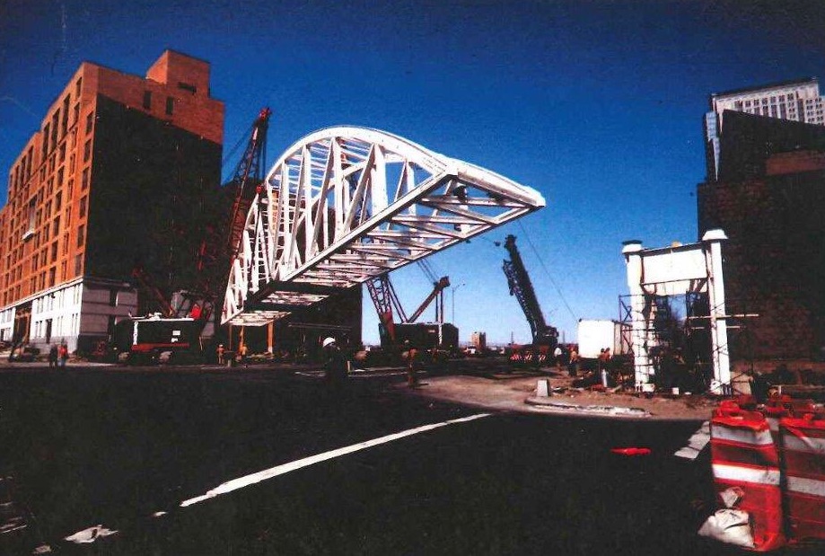
The arrival and construction of Tribeca Bridge.

 ·····················
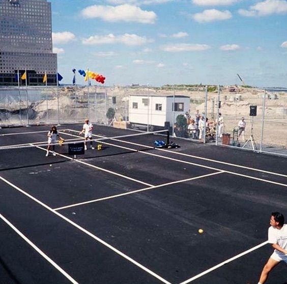
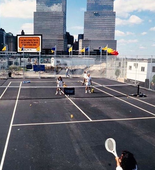
A tennis court on the lot where Stuyvesant High School is now.
 ·····················
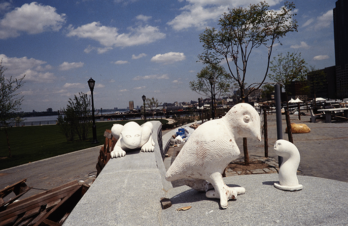
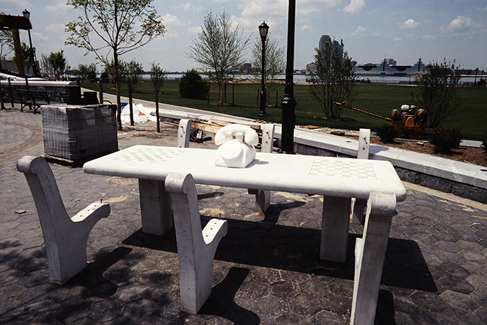
Rockefeller Park, including a mock-up of Tom Otterness’s “The Real World.”
 ·····················
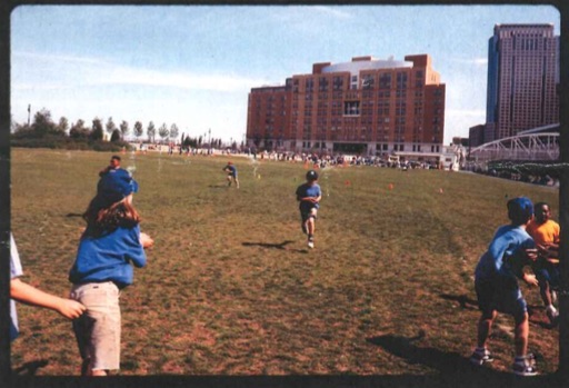
The ball fields in the early 1990s.
 ·····················
Teardrop Park.
 ·····················
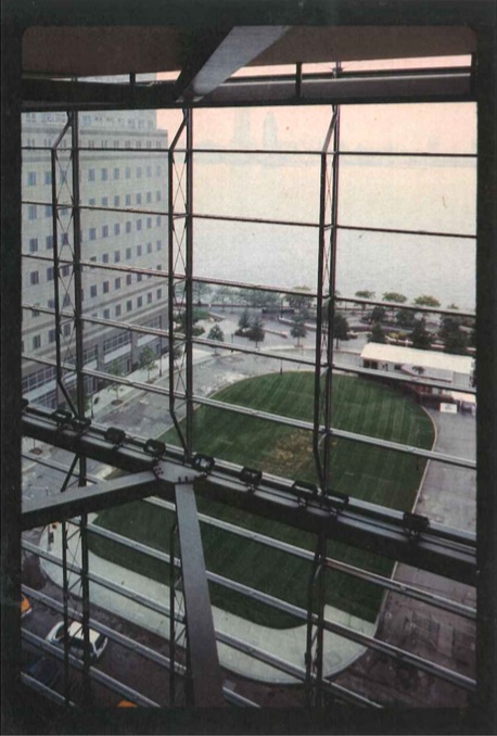
North of what was then called the World Financial Center.
 ·····················
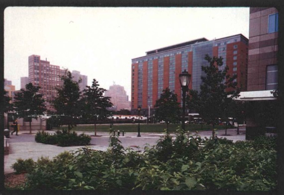
The Embassy Suites hotel and the future site of the Irish Hunger Memorial.
 ·····················
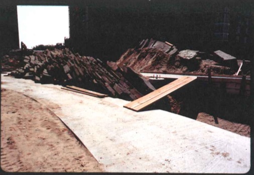
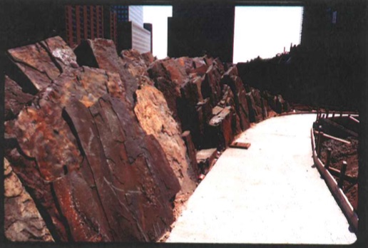
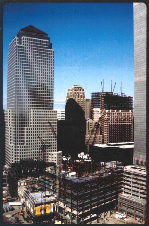
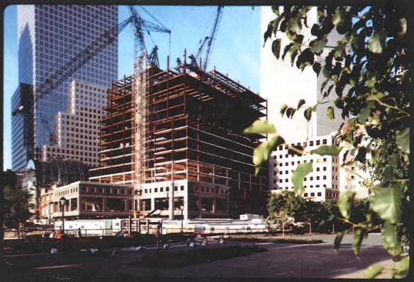
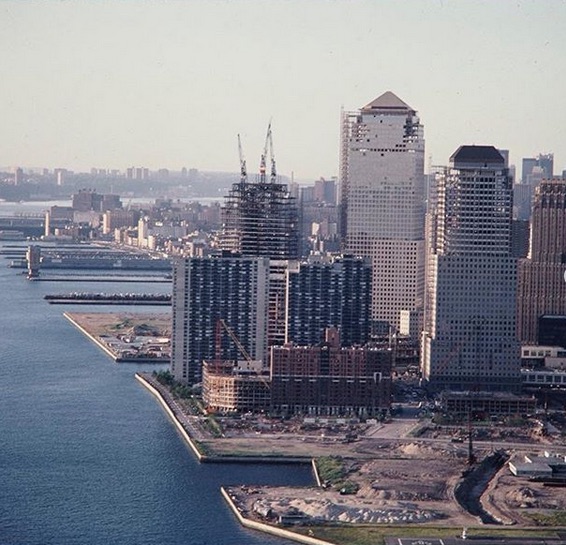
Construction of the World Financial Center.
 ·····················
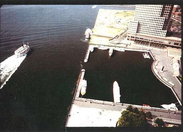
North Cove Marina. The last shot is of a “No Nukes” rally in 1979.
 ·····················
2 Comments
Comment:
Medium rectangle #1 (top)

Right column rectangle ads


Restaurant guide icon


Top pic is the south cove near the jewish heritage museum not up by Stuyvesant
Interesting shots. Thanks for posting.