Left rectangle ads redesigned

History of Tribeca Buildings

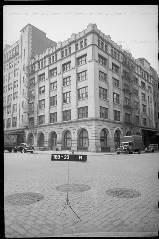
Looking back to Tribeca in the 1940s
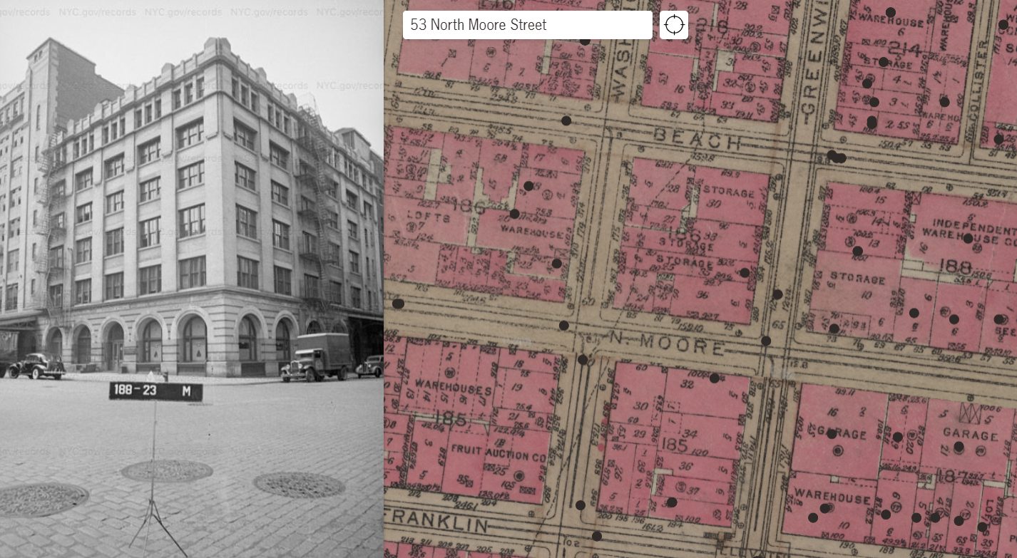
An enthusiastic New Yorker has taken all the Department of Taxation photos from 1940 and put them into an interactive map. It is good clean fun and easy to use, especially if you like seeing how the neighborhood has changed.
Julian Boilen is a software engineer who — from what I can tell — did this just for kicks. The city’s Municipal Archives digitized the photos in 2018 and until now it took a series of requests to get your hands on them.
While we are on the topic, I also love DoITT’s NYCityMap, which allows you to toggle between aerial shots from 1924, 1951, 1996, 2006, 2008, 2010 and 2012. Search your address then hit “Map Type” in the corner of the map image for the drop-down menu.
Comment:
Medium rectangle #1 (top)

Right column rectangle ads


Restaurant guide icon